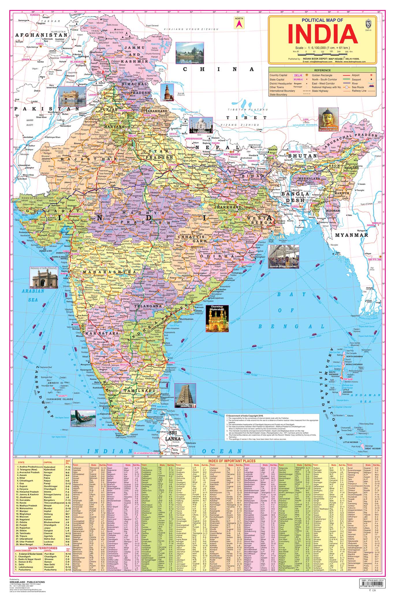
Dreamland Publications Educational Chart for Kids - India Map
Dreamland Publications Educational Chart for Kids - India Map
Couldn't load pickup availability
Dreamland Publications Educational Chart for Kids - India Map
India, a country in South Asia is the seventh-largest country in the world. Covering both physical and political features of the country this map shows states, UTs, and their capitals. It is a perfect wall chart for educational use, competitive exams, classrooms, teachers, and students.
- Ideal for ages 5-16
- Highly detailed
- Up-to-date
- Both side laminated
- Perfect size 48 cm (H) x 73 cm (W)
- Carton packing
- Outstanding quality
Ideal for schools, homes, offices, or any learning environment with all cartographic updates, this map is makes learning fun. It will help young geographers able to understand the symbols that show features such as rivers, roads, cities, or mountains and also know distances so that one knows how far away one thing is from another.
Legal Disclaimer: Product images are for illustrative purposes only. Images/packaging/ labels may vary from time to time due to changes made by the manufacturer's manufacturing batch and location.
Product ID: 12056004
Share